

What Makes Corona Heights Park Different
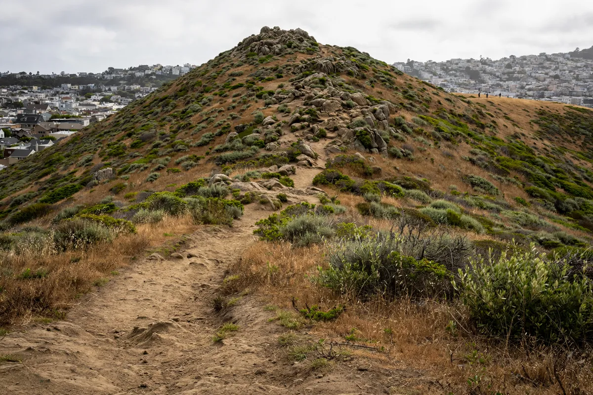
Corona Heights Park San Francisco is a 12.6-acre green space in the Corona Heights neighborhood, with a rocky summit that rises from a base near 300 feet to about 520 feet above sea level. The hill gives the park a distinct shape in the city, while the surrounding natural area brings together grasslands, scrub and trees around its edges.
Franciscan chert bedrock lies beneath almost all of the Corona Heights Natural Area. The Amphitheater at its center is an old quarry, a reminder that this landscape has a history beyond its trails and overlooks.
In spring, wildflowers carpet the grasslands. Checkerbloom, California poppy, footsteps of spring, Douglas iris, mule’s ears and Johnny-jump-up are among the flowers that may appear. A fenced dog play area sits beside the northwest side of the Natural Area.
From Twin Peaks Hotel, the park is about a 3-minute drive. For a nearby walk, staying at Twin Peaks Hotel puts the outing within about a 20-minute walk as well.
Routes Up the Hill
A network of trails runs about one mile around the hill and leads to the summit. You can choose an access point that suits your route: the listed entrances include States, Flint, Beaver and 16th streets, DeForest Steps, and Roosevelt and Museum ways.
The paths vary as they climb. Around the hilltop, expect dirt trails that are generally stable but can be steep, with box-step staircases in some places. Allow time for the ascent and descent, especially if you plan to follow the full trail network rather than go straight to the top.
One section calls for extra care: the trail down to the 15th Street tennis courts is about 0.2 mile long and is described as the network’s most challenging stretch. Steep terrain and loose gravel make it a tougher choice than the hilltop paths.
Views from the Park
At the summit, the San Francisco Recreation and Parks Department describes a 360-degree view of the San Francisco Bay Area. The climb is the main event here: trails wind around the hill before reaching the high point, where the open outlook makes the park’s elevation clear.
For a simple visit, choose one of the listed access points, follow the uphill paths and leave time to take in the view before returning. If you want a longer walk, use the trail network around the hill; check the route underfoot as conditions vary between stable dirt, stairs and the steeper gravel section.
Access, Terrain and Safety
San Francisco Recreation and Parks lists the 24 Muni line along Castro Street and the 37 Muni line along Roosevelt Way. Parking is available at the Randall Museum, with limited parking also listed at the 15th Street tennis courts and street parking around the park.
The department lists the park’s hours as daily from 5 a.m. to midnight; check the official site before you go for current access details.
Keep to the trails, particularly on steep ground. Steps and rustic fences were added in steep areas to help guide visitors and discourage walking on slopes.
At the dog play area, follow posted leash rules in designated on-leash areas, pick up dog waste and don’t leave pets unattended. The department describes the fenced play area as having limited wheelchair access.
Nearby Parks to Pair with Your Visit
Buena Vista Park lies just north of Corona Heights Park, making it a nearby option if you want to add another green space to your outing. For another neighborhood park idea, see this guide to Duboce Park.
If you’re planning a broader San Francisco day, the guide to the Painted Ladies covers another city landmark to consider alongside your park plans.